Decoding the Landscape
Exploring the intersection of geography, data analysis, and the outdoors, using GIS, topographic data and spatial pipelines to decode regional datasets, land use, and mountain landscapes.
-
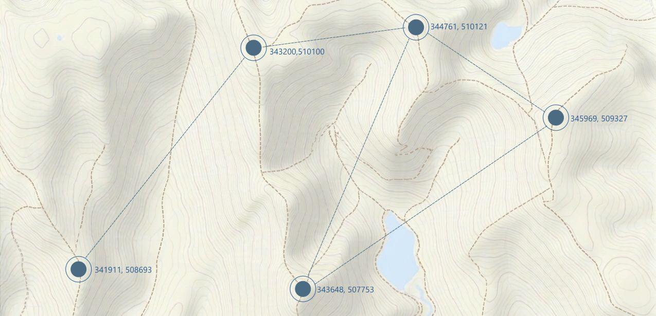
Beyond Vector Map: Building Spatial Knowledge Graphs
Read more: Beyond Vector Map: Building Spatial Knowledge GraphsBuilding a high-performance routing pipeline by combining PostGIS spatial vector processing with graph algorithms to deliver context-aware, routing calculations across complex mountain terrain.…
-
Streamlining Spatial Workflows: Consuming GeoJSON Using APIs in QGIS and Leaflet
Read more: Streamlining Spatial Workflows: Consuming GeoJSON Using APIs in QGIS and LeafletConnecting dynamic spatial APIs directly to mapping interfaces transforms static GIS workflows into live, interactive spatial applications using tools like QGIS & Leaflet.…
-
Linear Topographic Position Index: Variable Cross-Section Profiling for Micro-Segments
Read more: Linear Topographic Position Index: Variable Cross-Section Profiling for Micro-SegmentsVariable cross-section profiling transforms vector terrain analysis by capturing non-linear, directional landscape context along micro-segments without incurring heavy computational overhead quickly & easily.…
-
Beyond Elevation: Unlocking Environmental Context with Topographic Position Index
Read more: Beyond Elevation: Unlocking Environmental Context with Topographic Position IndexTopographic Position Index transforms raw elevation data into rich, functional spatial intelligence by evaluating points relative to their surrounding landscape and its profile.…